
Waddens Brook
The Waddens Brook is a tributary of the River Tame in Willenhall, West Midlands, England. It is also a designated nature reserve.
Etymology
The name Waddens Brook is derived from the Old English Wōdnesfeld, meaning "Woden's field", open land belonging to, or holy to, the high god of the Germanic Pantheon; this was the former name of Wednesfield, where the source of the Waddens Brook is located.
History
The Waddens Brook likely formed around 10,000 to 8000 BC. It is first listed in 985 as the "brōc" which acted as the boundary between Willenhall and Wednesfield when Æthelred the Unready granted the land charter to Wulfrun. Between 1066 and 1086, the area was still largely rural, with a small community living near to the stream, and around this time it is listed as the Wednesfield Brook and the Watery Lane stream.
In 1299, Richard Leveson married Margery, the heiress of Henry of Wolverhampton. combining Willenhall properties with plots of land in Wolverhampton and Wednesfield which bordered the Waddens Brook. Local court summaries from the 13th and 14th centuries are filled with cross-suits regarding pleas of trespass from the Leveson family and their neighbors, accusing opponents of failing to maintain boundary ditches along the Waddens Brook, and allowing livestock to wade across the stream banks and letting animals down growing crops.
During the early 14th century, the regional climate shifted into a colder, wetter phase identified as the Little Ice Age, culminating in a three-year period of extended precipitation between 1314 and 1316 that caused basin-wide flooding and catalyzed the Great Famine of 1315–1317. In its medieval state, the upper headwaters of the Waddens Brook—extending north of Amos Lane along Mills Close—consisted of shallow, braided marshland channels that quickly coalesced into an overland flood sheet due to the total saturation of the underlying, impervious glacial clay. As this surface water drained southeast toward the confluence at School Street, the heavily swollen River Tame created a hydraulic dam effect that prevented the brook from discharging, backing up the flow and completely submerging the low-lying floodplain meadow where Somerford Place stands today. Warmer temperatures prevented the topsoil from drying, and the standing floodwaters caused local grain and winter wheat crops across Wednesfield and Willenhall to rot directly in the ground, decimating the regional harvest and triggering severe food scarcity and economic inflation across Staffordshire.
During the 16th century when the Moat House along Moat Street was constructed, the moat was fed by a series of springs linked to the Waddens Brook. In the Staffordshire Hearth Tax records for the year 1666, records show the earliest shift from agriculture to metalworking in the Willenhall and Wednesfield areas around the stream, and the high number of smithies and forges per household compared to other villages was also noted; they were situated around the Waddens Brook area with many focusing on creating animal traps.
During the first half of the 18th century, the Waddens Brook flowed openly through a broad, marshy flood valley, and the area that is today Watery Lane and Broad Lane was often flooded by the stream. When the Wyrley and Essington Canal was constructed in 1792, the stream was diverted using aqueduct channels to force the stream underneath the Canal to prevent floodwater from being emptied into the Canal.
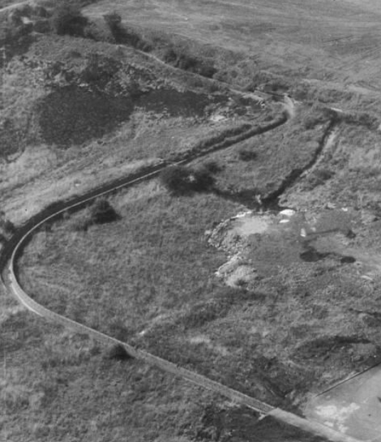 The track running alongside the stream was named the Waddens Brook Lane during the 1810s, and starting from the 1820s, the Waddens Brook began to be polluted with forge waste. In the 1830s, Stow Heath Colliery opened, and the expansion of the Chillington Iron Company into Wednesfield caused the land around the stream to subsidise and often flood the area with polluted water. In 1837, the Grand Junction Railway laid their railway adjacent to the Waddens Brook which permanently cut the brook off from its remaining open meadows. This pinned the stream into a narrow valley hemmed in by railway embankments and the Wyrley and Essington Canal.
In 1872, the Weldless Steel Tube Company opened on Waddens Brook Lane and the course of the stream was modified again to transport water to operate the machinery, and the remaining open marshy sections of the brook were systematically filled in with factory foundations between 1890 and 1914. Much of this was a result of the Phosphorus Company and Brockhouse Castings being founded during the 1890s along the Waddens Brook drainage corridor.
During the early 1950s, the construction of 108 Amos Lane by the Griffiths family allowed the source of the stream in Wood Hayes to be preserved above ground, and in 1974, the last major works to the stream took place, with the open stream channel being straightened and diverted, and the confluence where the Waddens Brook meets the River Tame along School Street also being buried.
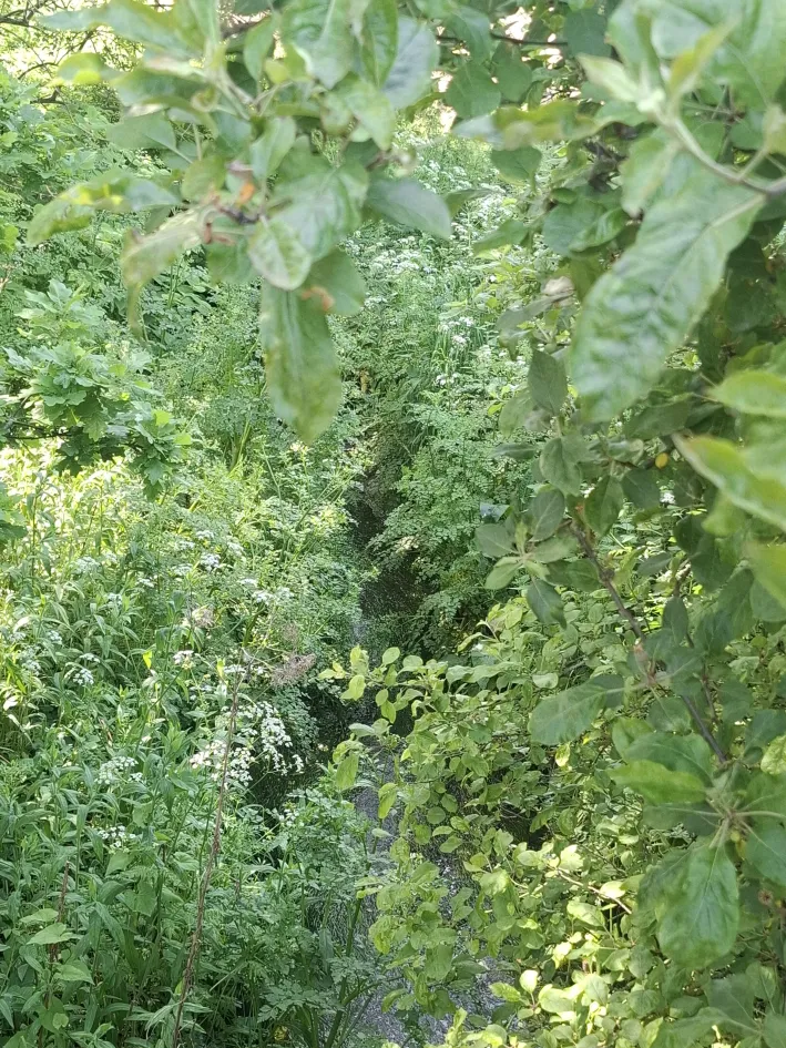
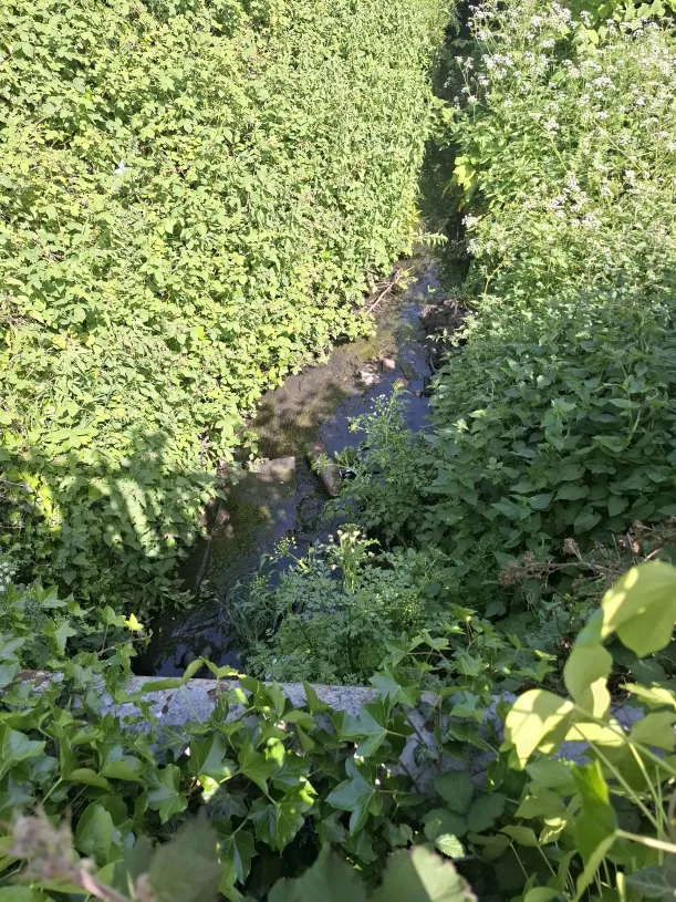
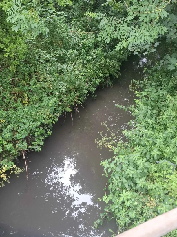
Sections of the stream have increasingly become overgrown with vegetation since the 2010s, and hydrochloric acid spilled into the Waddens Brook in January 2016.
Course
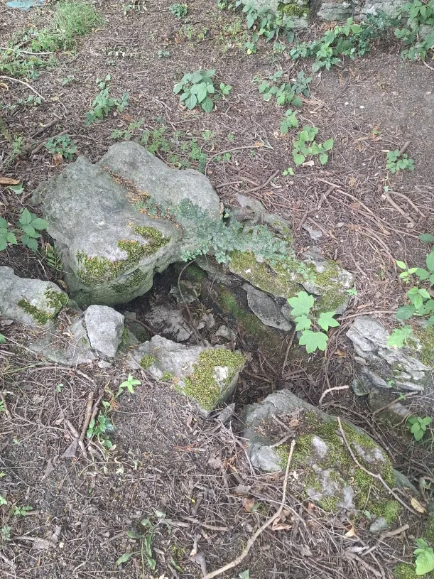
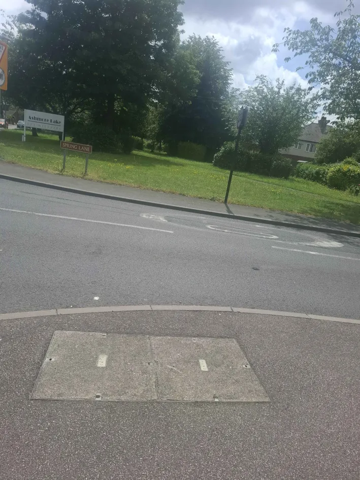
Following the retreat of the glaciers at the end of the last Ice Age, the stream began much further north than Amos Lane along Mills Close (), around north of Amos Lane. The current source of the Waddens Brook is located in Wood Hayes, Wednesfield in the boundaries of 108 Amos Lane since (), and it exists at Wood Hayes as a subterranean spring feed where it is only above ground for around . It passes through Castlebridge Road and Noddy Holder Way before passing south-east from Spring Lane at the junction of Sandbeds Road ().
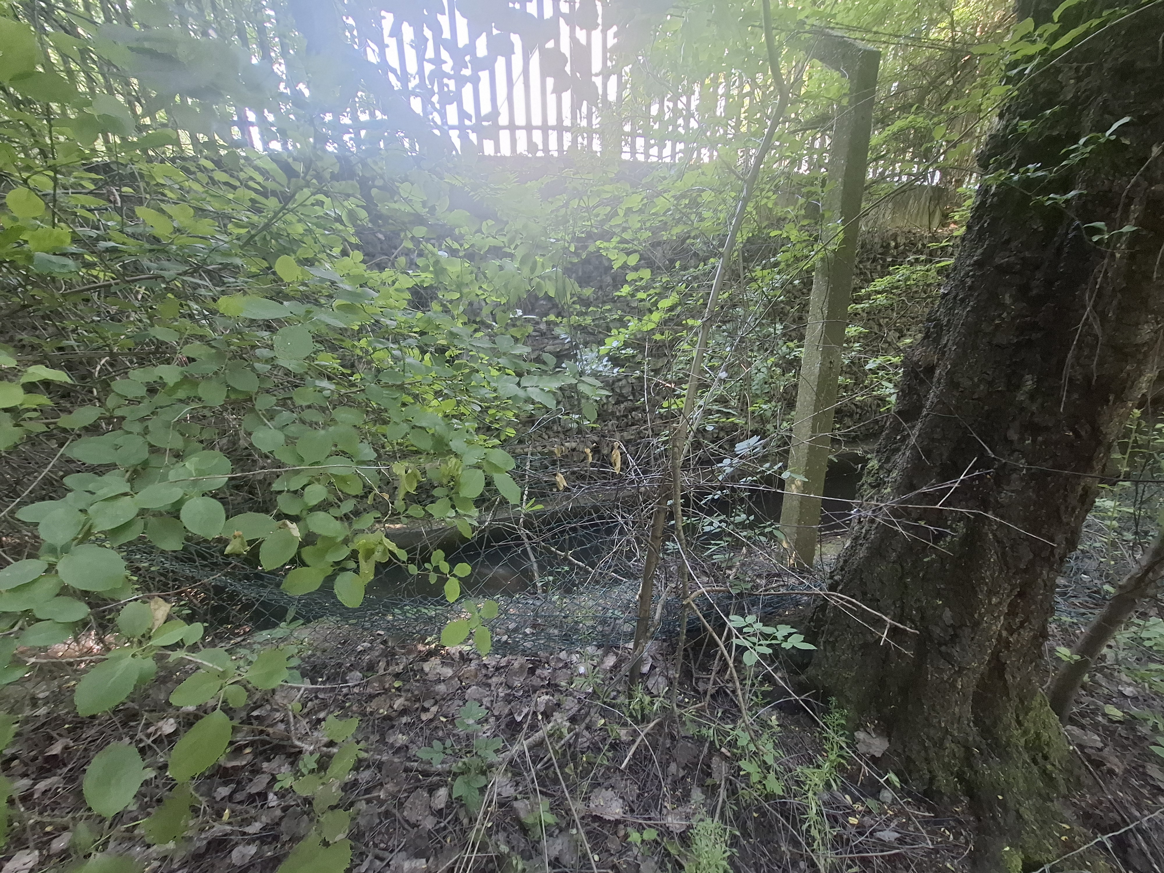
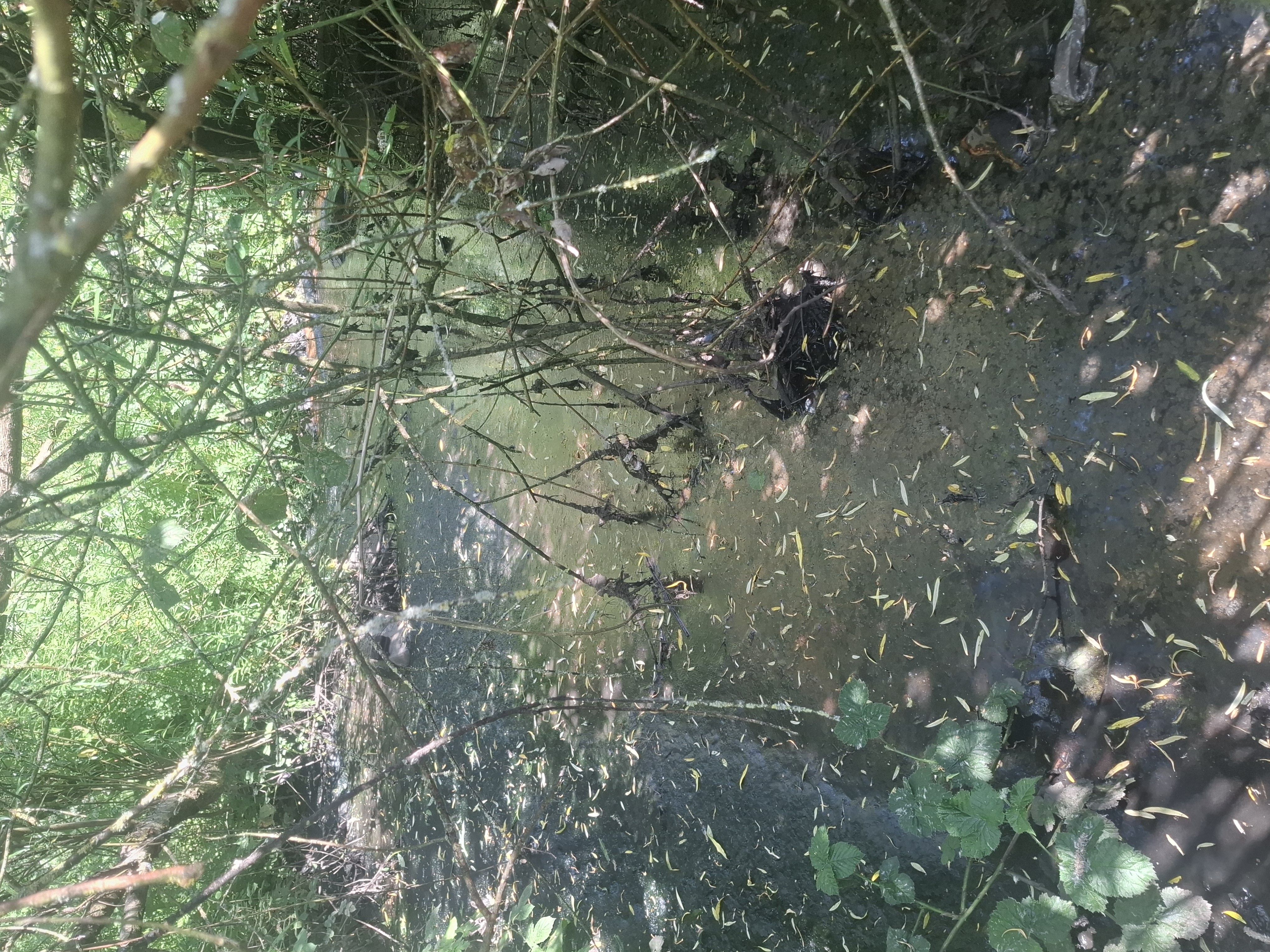
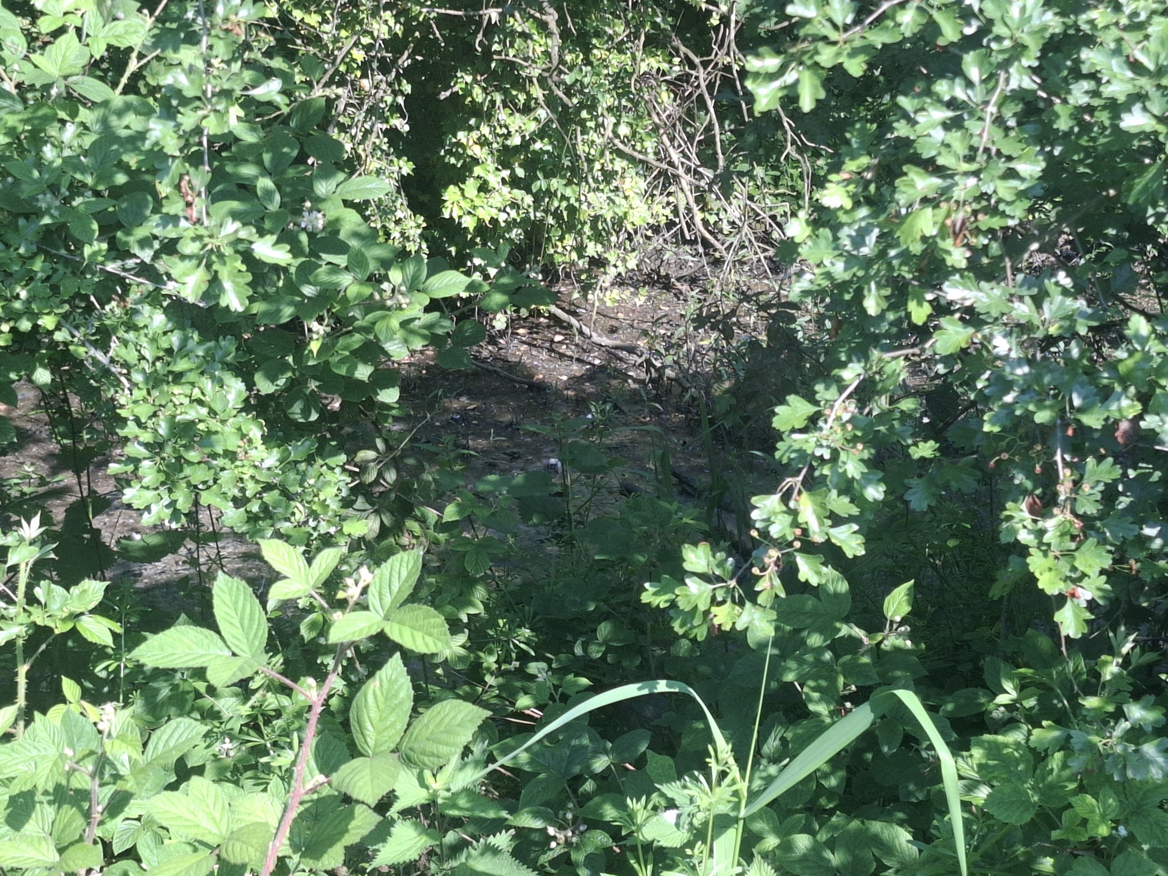
The Waddens Brook then goes adjacent to Waddens Brook Lane before it surfaces again at the Fibbersley Nature Reserve () near Waddens Brook Lane. At the border of the Fibbersley Nature Reserve, the stream passes directly underneath Watery Lane () before it passes adjacent to an unnamed path until the Waddens Brook disappears underground again near Holman Close ().
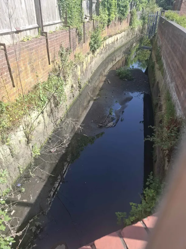
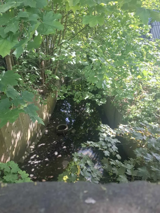
It then appears above ground again in a concrete-lined ditch along Noose Lane, north of Cedar Lane () before it is visible at Cedar Lane (). After Cedar Lane, the stream follows adjacent to the West Coast Main Line railway before continuing southeast before it appears for the last time at Willenhall Memorial Park where it runs parallel to the main pond (). It then travels around south to reach its confluence with the Willenhall Arm of the River Tame (known as Rusty Brook in Bilston) along School Street (); the River Tame first becomes visible only around from the confluence.
The Tame is visible nearby at Somerford Place () before it passes beneath the main road and along West Acre near a prominent warehouse distribution center (), remaining entirely culverted and lost to view until it reaches its open natural channel downstream in Shepwell Green ().






Nature reserve
A section of the Waddens Brook along Noose Lane and Watery Lane exists as a nature reserve, and the reserve ends where the stream disappears southeast of Watery Lane where it goes underground for the last time before merging with the River Tame. Its importance was recognised when ecological surveys recorded it as a key breeding habitat for the Northern crested newt as early as 2008.
It was designated as a nature reserve in 2009, and its environmental protections were significantly strengthened on 24 April 2024.