
Sneyd Brook
The Sneyd Brook is a tributary of the River Tame in Bloxwich and Darlaston, West Midlands, England.
Etymology
The name Sneyd derives from the Middle English snede and Old English snǣd, meaning a detached piece of land or woodland. The name was historically applied to The Sneyd near Bloxwich.
History
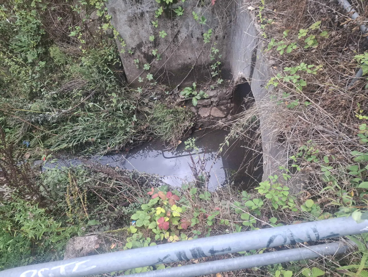 The lower course traditionally formed the western boundary of Walsall.
Sneyd Brook was first documented as Bentley Brook during the 14th century and as both Bentley Brook and Park Brook during the 18th century. A Sneyd Bridge crossing existed in Bloxwich () as early as the 16th century, and a bridge exists there today as Sneyd Junction Bridge.
Industrialisation substantially modified the brook, with much of its flow diverted into the Wyrley and Essington and Anson Branch canals which opened in 1792 and 1830 respectively.
The Borough of Walsall undertook an improvement and main-drainage scheme involving Sneyd Brook in 1948–49. Much of its upper course was subsequently culverted, while the M6 motorway was constructed over the brook near Reedswood in 1968.
Course
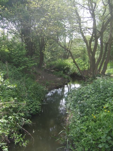 The source has been traced to a lake in Rough Wood Chase, Bloxwich () and is mostly culverted, including through its namesake, The Sneyd near Bloxwich, until it re-appears at the Environment Agency-mapped source from the former Anson Branch canal overflow near Reedswood Park, Walsall ().
After Reedswood Park, the brook flows south-west beneath junction 10 of the M6 motorway (), through an engineered channel beside Tempus Drive and Bentley Mill Way ().
It passes beneath the Walsall Canal at James Bridge Aqueduct before exiting through an aqueduct in Darlaston along Bentley Mill Way, where it flows for before joining the Willenhall arm of the River Tame ().