
Isla Agustín, Los Roques
Agustín Island (Spanish: Isla Agustín, also known as Prestonquí) is an island located in the Los Roques Archipelago, in the north-central region of the South American country of Venezuela. Administratively, it is part of the Francisco de Miranda Insular Territory, a subdivision of the Federal Dependencies of Venezuela.
Its alternative name, Isla Prestonquí, is believed to originate from a corruption of the English name "Preston Key".
History
During Spanish colonization, the island was part of the Captaincy General of Venezuela. Following Venezuelan independence, it was included in the Colón Federal Territory (between 1871 and 1908) and later integrated into the Federal Dependencies since 1938. In 1972, the island was officially declared part of the Los Roques Archipelago National Park.
In 1976, part of the population from the neighboring island of Esparquí was relocated here. Until 2011, it fell under the jurisdiction of the Single Area Authority of Los Roques (Autoridad Única de Área de Los Roques), which was dissolved to make way for the new insular territory government.
In recent decades, there have been plans supported by the Venezuelan Ministry of Tourism to construct luxury facilities on the island. These proposals sparked criticism from environmental organizations due to ecological concerns, but to date, none of these projects have been materialized.
Geography
The island has an approximate surface area of 43 hectares (equivalent to 0.43 square kilometers) with a perimeter of 5.5 kilometers. It is located south of Crasquí, west of Loco Island, southeast of Espenquí, and north of Isla Larga. 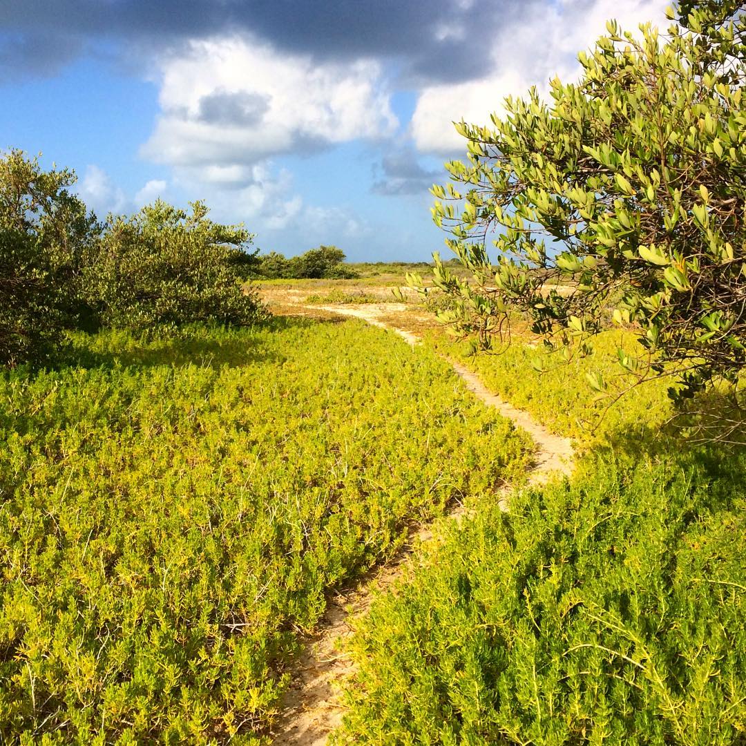 Agustín Island features an elongated and irregular morphology that extends predominantly in a west-east direction. Its topography is mostly flat and low in altitude, characterized by extensive sandy plains of coralline origin and sedimentary deposits. The interior relief is marked by low dunes and an arid substrate exposed to intense solar radiation and trade winds, shaping a predominantly xerophytic landscape in its central core. Toward the western end, the island narrows significantly, forming a thin tongue of white sand that extends into the surrounding shallow waters.
The most distinctive geographic feature of Agustín Island is its complex system of internal lagoons, which are isolated from the open sea by narrow barriers of coastal sediments. In the eastern sector, a prominent pink lagoon stands out; its coloration is due to high water salinity that promotes the proliferation of halophilic microorganisms, such as the microalga Dunaliella salina and various archaea. Connected to or adjacent to this body of water are other smaller lagoons with tones ranging from brown and ochre to olive green, reflecting varying levels of evaporation, depth, and biochemical composition.
The distribution of vegetation on the island responds directly to soil salinity and freshwater availability. The peripheral fringes and areas adjacent to the inland lagoons house dense colonies of mangroves, mainly composed of red mangrove (Rhizophora mangle) and black mangrove (Avicennia germinans), whose intricate stilt roots stabilize the coastline against marine erosion. In contrast, the island's interior exhibits a sparse, stunted plant cover consisting of halophytic herbs and drought-resistant shrubs. The surrounding beaches feature fine coralline sands, bathed by calm waters protected by shallow coral reefs.
Economy
The primary economic activity on the island is tourism. Visitors can participate in water sports such as snorkeling and bonefish fishing. Unlike many other smaller islands in the archipelago, Agustín Island features its own restaurant.
See also
- Geography of Venezuela
- List of islands of Venezuela